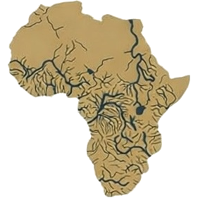
Software for rivers
Developing a river corridor means testing hundreds of design scenarios. We are an AI-first team, so we build our own tools to do that — fast, repeatable and in the open. We are publishing them for the research, design and engineering community.
Navigation channel design
A river is not a canal. Many things limit what can navigate it:
- meanders, which limit how long a vessel can be;
- the river’s width and depth;
- bridges; and
- floods and droughts.
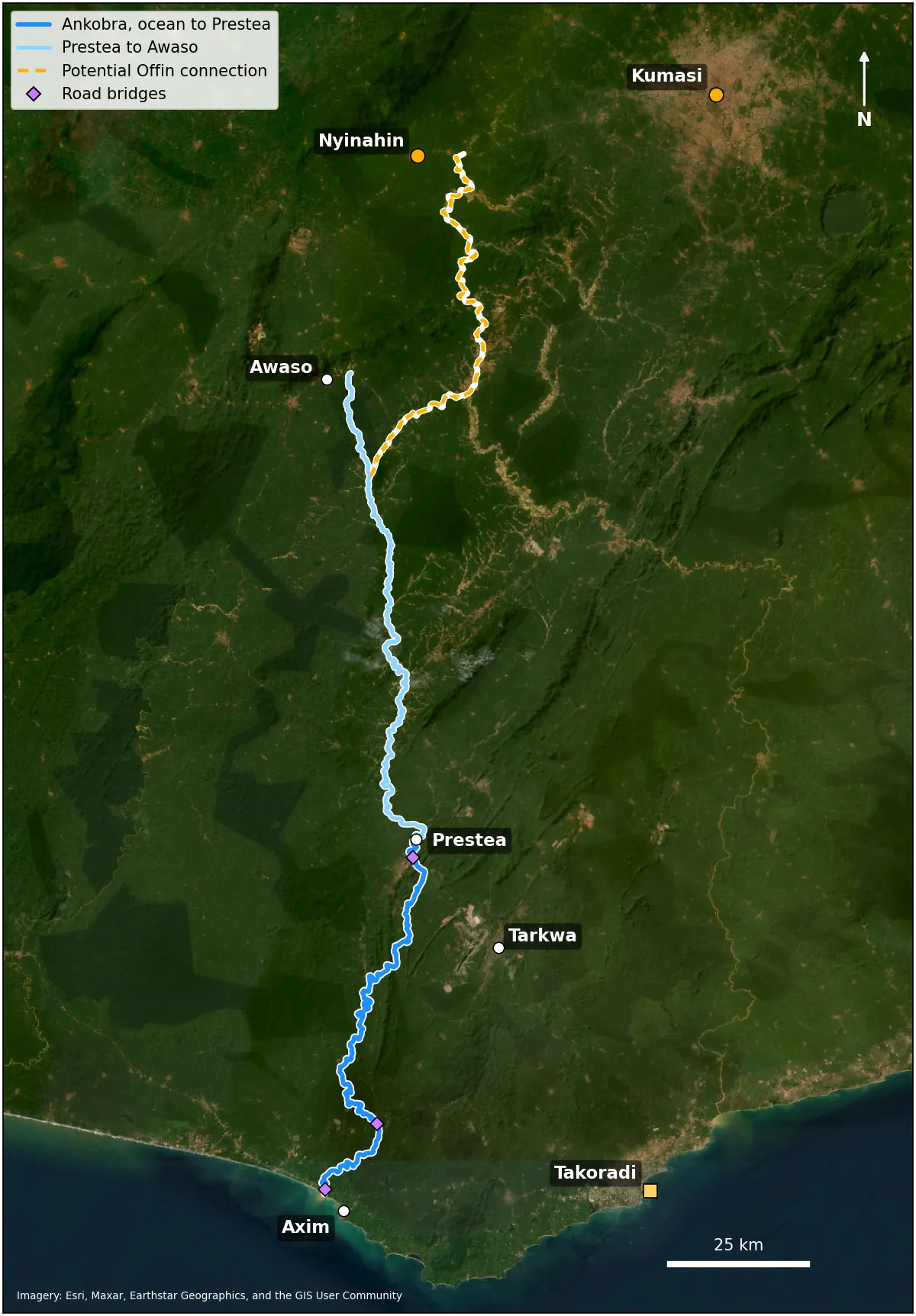
Our channel design tool lays out a navigation channel inside an existing river. It sizes the channel width, bend radius and depth for a chosen design vessel from published standards — PIANC guidance and the Chinese inland-waterway standard. It then searches for the cheapest line through the meanders and measures the cut and dredging that line needs. It can run on public terrain data alone, and takes a survey when there is one.
We built it for the Ankobra in Ghana. The aim is a tool that shows, quickly, which interventions in a river make a real difference.
Concept barge designer
In a feasibility study, the vessel and the channel decide each other. A bigger vessel is cheaper per tonne, but needs a wider, deeper and gentler channel.
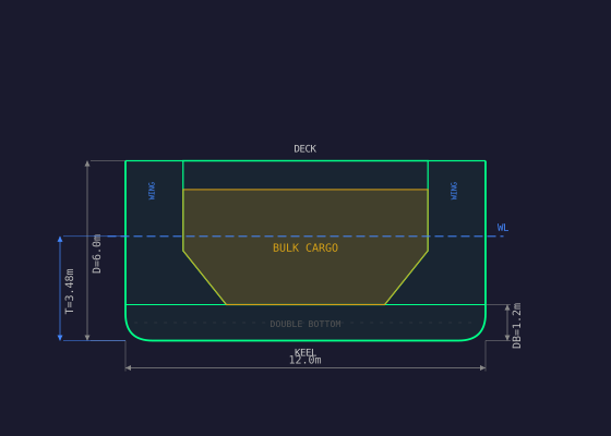
Our barge designer sizes concept vessels for dry bulk and for liquefied gas. For a given hull it works out how much cargo the hold takes, then how much of that the channel’s depth allows on each trip. It also checks first-order stability and the height above the water, for bridges.
So for any channel we can show, in minutes, what tonnage is possible.
Code
The GitHub repositories are coming soon.
To use the tools or work on them with us, email niall.o.tuathail@africanrivercorridors.com.